Emergency meeting points now on the federal geoportal
Most cantons have designated locations for emergency meeting points in recent years. In the event of major incidents, disasters and emergencies, these emergency meeting points serve as a point of contact for the population with the authorities and as a place where emergency calls can be made. The predefined locations of the emergency meeting points are now available on the federal geoportal.

Civil protection sets up emergency meeting points when conventional means of communication are no longer available in the event of a major incident, disaster or emergency. The emergency meeting point, which has an emergency power supply and a secure radio link to the incident command center, then serves as a contact point for the population. The population receives information from the authorities, can make emergency calls or, depending on the situation, is directed to other services such as drinking water distribution points or similar. As a rule, there is one such meeting point per municipality or several in more extensive municipalities and towns. The canton and/or municipalities can decide whether or not to open one, which is done within a few hours.
Coordination by the FOCP
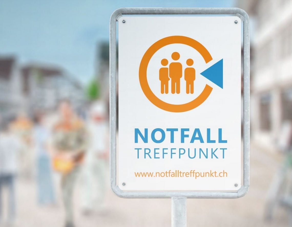
The emergency meeting points are operated by the cantons. The FOCP assumes a coordinating role in consultation with the cantons. Among other things, it provides common signage and a new general information service including a location map.
General information on the emergency meeting points is available in four languages on the FOCP website at www.notfalltreffpunkte.ch. The location map of the federal geoportal can be consulted directly on this page.
As the cantons have adapted the services and deployment procedures for the emergency meeting points to their respective requirements and circumstances, additional information is available on cantonal websites. These are linked in the detailed view of each emergency meeting point on the location map of the federal geoportal.
Integration into the federal geoportal
The locations for emergency meeting points are now available together with numerous other data sets in the federal geoportal and its map viewer (map.geo.admin.ch). Like all geodata on this portal, the emergency meeting points are also available via an API, meaning that third-party providers can integrate them into their own applications.
Regular updating and further development
At the start of the new information service, the defined locations of 21 cantons and the Principality of Liechtenstein are available. Further cantons are about to define their locations and inform the population accordingly. The data will be regularly updated on the federal geoportal in collaboration with the cantons. The concept of emergency meeting points is also being continuously developed. In future, the information on emergency meeting points will be more closely linked to the Alertswiss information, warning and alerting app.
Source: FOCP


