National flight route network for helicopters to be expanded
The "Low Flight Network" previously used by Swiss Air-Rescue Rega and the Swiss Air Force is being continuously expanded. In the future, it will also be available to other air rescue companies and police forces.


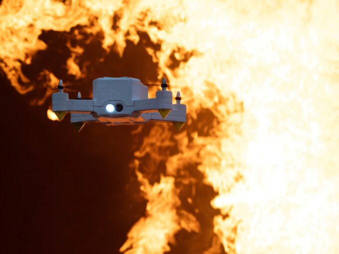
The Low Flight Network (LFN) was originally created on the initiative of Rega and the Swiss Air Force. The aim: thanks to a nationwide network of instrument flight routes, helicopter crews should be able to carry out important flights, such as rescue missions or supply and evacuation flights in the event of a disaster, even in bad weather. The existing network will now be further expanded and supplemented over the next few years.
Thus, additional flight routes will be created, especially on the west-east route in the Jura and Valais regions or in western Switzerland. In the future, according to the Federal Office of Civil Aviation, it will also be available to other air rescue companies as well as police forces, provided their helicopters are suitably equipped and their crews are qualified for the task.
In principle, it is envisaged that the federal government will assume the costs for the route network and those arrival and departure points that are in the national interest. In the case of regional requirements or special interests (for example, links to regional hospitals and Rega bases), the cantons or users are to assume the financing. In addition to Rega and the Swiss Air Force, other providers of rescue flights should also be able to use the LFN, provided that the missions serve national interests, their helicopters are suitably equipped and their crews are trained and approved for flights according to instrument flight procedures.
What is the Low Flight Network?
The Low Flight Network (LFN) can be compared to a highway network (albeit one that is rarely used). On predefined routes, helicopters can fly in instrument flight, for example from Ticino to Lucerne or Zurich, even in poor visibility conditions. What is new about the LFN is that these flights can also be carried out in lower airspaces, which are otherwise only intended for air traffic according to visual flight rules (VFR) and may only be flown in sufficient visibility conditions. Thanks to the LFN, medical rescue flights, as well as helicopter operations in the service of national security, are possible even in bad weather. To get from the "highway" to a hospital, the LFN has so-called PinS (Point in Space). These virtual points over a hospital or over an airfield allow a direct approach using GPS technology. From this virtual point, the helicopter can set off for landing, but sufficient visibility must be available for this final, short section of the route. It is therefore not a "blind landing system" as known from the large airports and fixed-wing aircraft.
Source: Bazl