Natural disasters can be predicted using high-tech
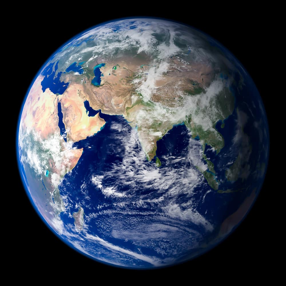
Digital twin of the Earth from the National Research Council enables detailed simulations


An international team led by Luca Brocca from the National Research Council wants to use a digital twin of the Earth to develop a prediction model for devastating floods and landslides. The twin consists exclusively of data. It can be used, for example, to simulate the effects of heavy rainfall in a manageable area.
"Partial twin" in the Po Valley
To create a first "partial twin" of the Earth, the Po Valley in northern Italy, Brocca and his colleagues used extraordinary amounts of satellite data and combined them with measurements of soil moisture, precipitation, evaporation, water transport by rivers and streams and snow depths. This data, which is crucial for the development of the models, includes measurements at very short intervals over space and time: once per kilometer and once per hour.
Like a screen with more pixels, this higher-resolution data produces a more detailed image. The scientists use this data to develop their modelling and then integrate it into a cloud-based platform that can be used for simulations and visualizations.
Coping with climate change
"This project is a perfect example of the synergy between satellite missions and the scientific community. Collaborations like this, coupled with investment in computational infrastructure, will be critical to addressing the effects of climate change and other human impacts," says Brocca.
"The story began with an initiative from the European Space Agency. I said we should start with something we know very well, the Po Valley. This is very complex. We have the Alps, we have snow, which is difficult to simulate, especially in irregular and complex terrain like the mountains. Then there is the valley with all the human activities - industry, irrigation. Then we have a river and extreme events - floods, drought. And then there's the Mediterranean, a good place to study extreme events with both too much and too little water."
The main applications of the platform are improving the prediction of floods and landslides, optimizing the management of water resources and assessing the consequences of extreme weather events for agriculture.
Source: National Research Council