Gap in flood protection closed
Switzerland now has a nationwide map of surface runoff and thus an additional important tool for flood prevention.

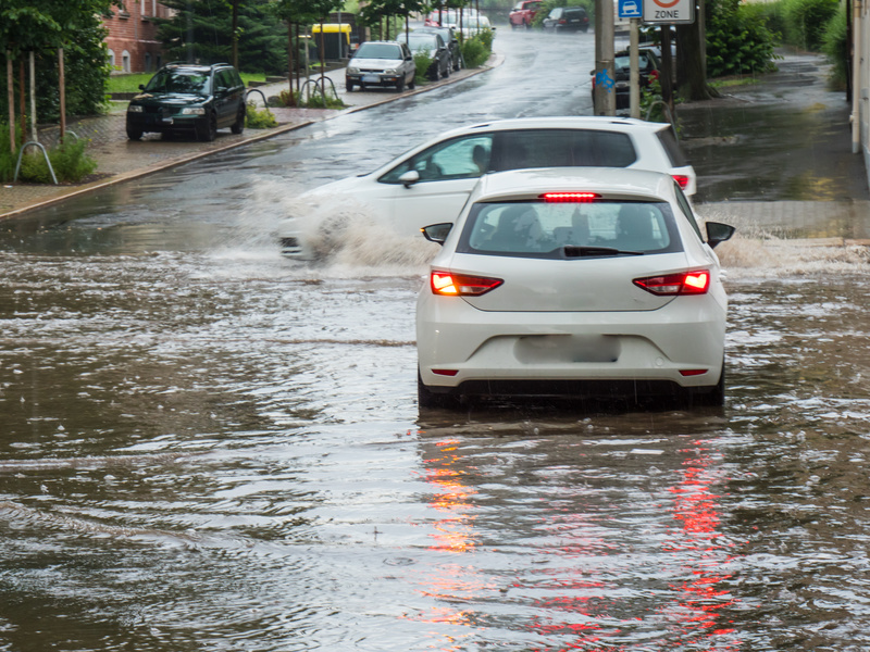
In Bern on July 3, 2018, the Federal Office for the Environment (FOEN), the Swiss Insurance Association (SIA) and the Association of Cantonal Building Insurers (VKG) jointly presented the new hazard map on surface runoff. Floods do not only occur because streams, rivers or lakes burst their banks. Rain that cannot percolate into the ground and runs off over open ground can also cause flooding. This surface water causes up to 50 percent of flood damage and has increased in recent years. There have been several examples of this in recent months, such as in Lausanne in June 2018 and Zofingen in July 2017 (see box). With the warmer climate, heavier and more frequent precipitation and thus more surface runoff can be expected. The new map helps Switzerland to adapt to this phenomenon.
Around two thirds of buildings affected
The nationwide map shows which areas are at risk and how deep they may be under water. A computer model was developed for the map for the entire area of Switzerland. Important for the calculation are not only the amount of precipitation, the soil cover and composition, and the storage capacity of the soil, but also a high-resolution digital terrain model. The resulting map shows where surface water runs off, which areas are affected and how high the water can stand.
According to data, around two-thirds of buildings in Switzerland are potentially affected by surface runoff. The map is useful to architects, builders, planners, authorities or intervention forces when planning protective measures. On buildings, relatively simple measures can keep water out and thus prevent damage: For example, by raising light wells or installing barriers or small terrain crests at underground garage entrances.
The surface runoff hazard map also covers populated areas and can therefore be used by agriculture for soil protection measures. The canton of Lucerne has been using the map for two years and is drawing a positive balance, according to the Federal Council's statement.
If protection against surface runoff is already taken into account in the planning phase of a construction project, there will be no or only minor additional costs, the federal government promises. The Hazard Map Surface Runoff Switzerland is now freely available online at www.map.geo.admin.ch to all cantons, insurance companies, building owners and all other interested parties. It is pointed out that the hazard map is not legally binding, but has an informative character and complements the already existing hazard maps of the cantons. Switzerland is one of the first countries to have produced a map of surface runoff and thus plays a leading role internationally in this field.
Further information can be found at: www.bafu.admin.ch/oberflaechenabfluss
An overview of concrete measures to protect buildings can also be found at: www.schutz-vor-naturgefahren.ch/wasser


